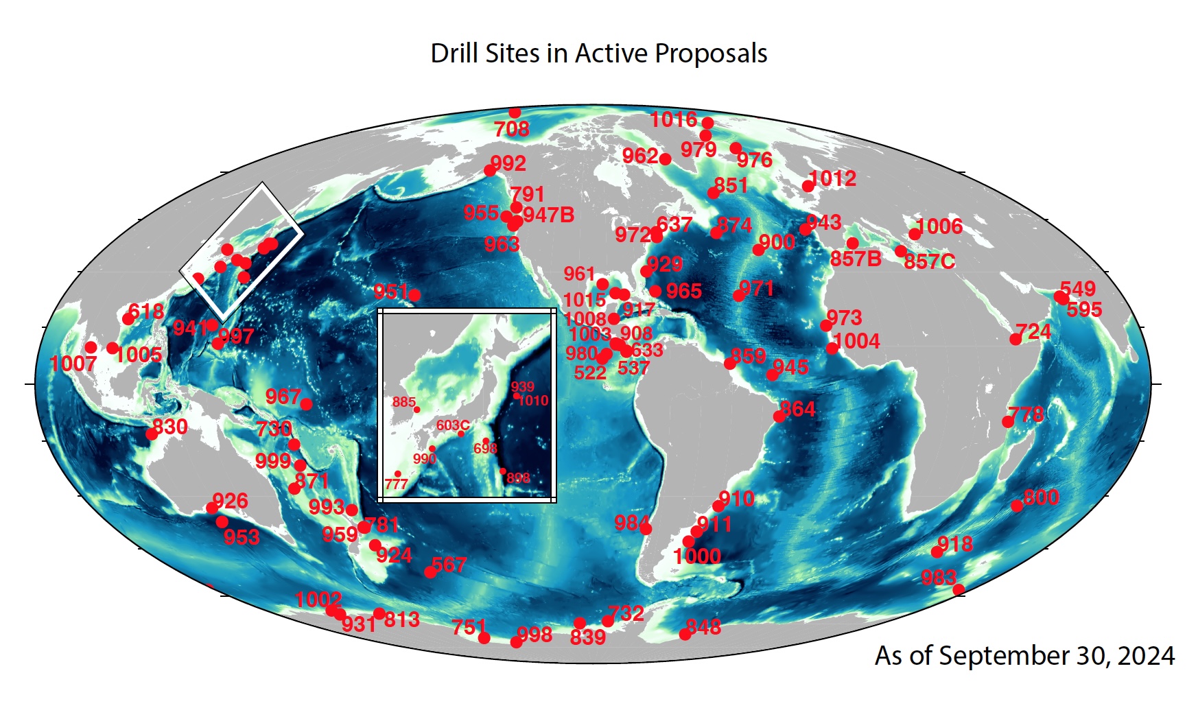
IODP provides pdf, jpg, and eps maps of drilled sites from all scientific ocean drilling programs through the JOIDES Resolution Science Operator. To visualize data in Google Earth and other formats, IODP also offers the files below with the location of all holes drilled during the scientific ocean drilling programs. Holes are added to these files once the Preliminary Report for the expedition is published, and the data includes water depth, meters of core recovered, links to core and log data, and links to the visual core description, as available. If a Preliminary Report has not be published for the expedition, the data comes from the Scientific Prospectus. These files were last updated with available data in March 2025.
- KML link (requires an internet connection for data and automatic updates)
- KML file (downloadable)
- CSV file (downloadable)

Other Drill Site Maps for all IODP programs are periodically maintained and available from the JOIDES Resolution Science Operator.


